
Grand Rapids ZIP Directory Coverage
Grand Rapids postal designations include delivery areas in the city, shared areas that cross into nearby municipalities, and ZIPs that are mainly box-service or unique institutional designations. The table separates postal use from local jurisdiction. A ZIP can help group an address for mail, but it does not decide whether a parcel is inside Grand Rapids, Kentwood, Wyoming, Walker, Cascade, East Grand Rapids, or another local jurisdiction.
| ZIP | Areas Covered | Post Office | Notes |
|---|---|---|---|
| 49501 | Grand Rapids postal designation | PO-box or postal operations | Not a residential parcel geography |
| 49502 | Grand Rapids unique or business postal use | Unique or institutional designation | Not a city-limit proxy |
| 49503 | Central and south-central Grand Rapids | Grand Rapids postal city | County property search is better for parcels |
| 49504 | West and central Grand Rapids, nearby overlap | Grand Rapids postal city | Check municipality in the street directory |
| 49505 | North Grand Rapids and Creston area | Grand Rapids postal city | Use street and parcel for neighborhood lines |
| 49506 | East Grand Rapids and southeast Grand Rapids | Grand Rapids and East Grand Rapids overlap | Crosses a municipal boundary |
| 49507 | South Grand Rapids delivery area | Grand Rapids postal city | Ward, neighborhood, and parcel are finer layers |
| 49508 | Southeast Grand Rapids, Kentwood, and Cutlerville area | Grand Rapids and Kentwood-area overlap | Postal city does not prove incorporation |
| 49509 | South and west metro delivery area | Grand Rapids and Wyoming-area overlap | Confirm the city or township |
| 49510 | Grand Rapids postal designation | PO-box | Not a mapped residential ZIP |
| 49512 | Southeast metro and adjacent municipalities | Grand Rapids, Kentwood, and Cascade overlap | Parcel jurisdiction is required |
| 49514, 49515, 49516, 49518, 49523, 49528 | Grand Rapids box-service designations | PO-box | Use an exact address before placing a parcel |
| 49525 | North Grand Rapids mailing area and Plainfield overlap | Grand Rapids and Plainfield-area overlap | Do not infer court coverage from ZIP |
| 49530 | Grand Rapids postal institution | Unique ZIP | Institution-only, not resident coverage |
| 49534 | West metro, Walker, and Grand Rapids mailing overlap | Grand Rapids and Walker-area overlap | Confirm in Kent GIS |
| 49544 | Northwest metro and Walker-area overlap | Grand Rapids and Walker-area overlap | Can cross the city line |
| 49546 | East and southeast metro | East Grand Rapids, Cascade, Kentwood, and Grand Rapids overlap | Municipality column is essential |
| 49548 | South metro, Cutlerville, Kentwood, and Grand Rapids overlap | Shared postal city names | Use exact address and parcel fields |
| 49555 | Grand Rapids institutional designation | Radio Bible Class or institutional use | Verify current use with USPS |
| 49588 | Kentwood box-service designation | PO-box | Not a mapped residential ZIP |
| 49599 | Grand Rapids postal designation | Postal service or PO-box style | Verify exact use with USPS |
The core 49503 through 49509 delivery band includes central, west, north, east, southeast, south, and west-metro postal areas, but the postal label remains only one layer. The City street directory pairs address ranges with ZIP, county, municipality, and school district, which makes it more useful than a ZIP alone when a local office or district must be identified.
Grand Rapids ZIP Address Checks
The USPS ZIP Code Lookup is the authority for an exact mailing ZIP. It accepts an address lookup, a city-and-state lookup, and a ZIP-by-city-and-state search. Use the entire address when the aim is to check an individual delivery location. A city-and-state result can return postal possibilities, but it cannot settle city limits or identify the people associated with the address.
The USPS ZIP Code Lookup form shown below is the starting point for an exact address check.
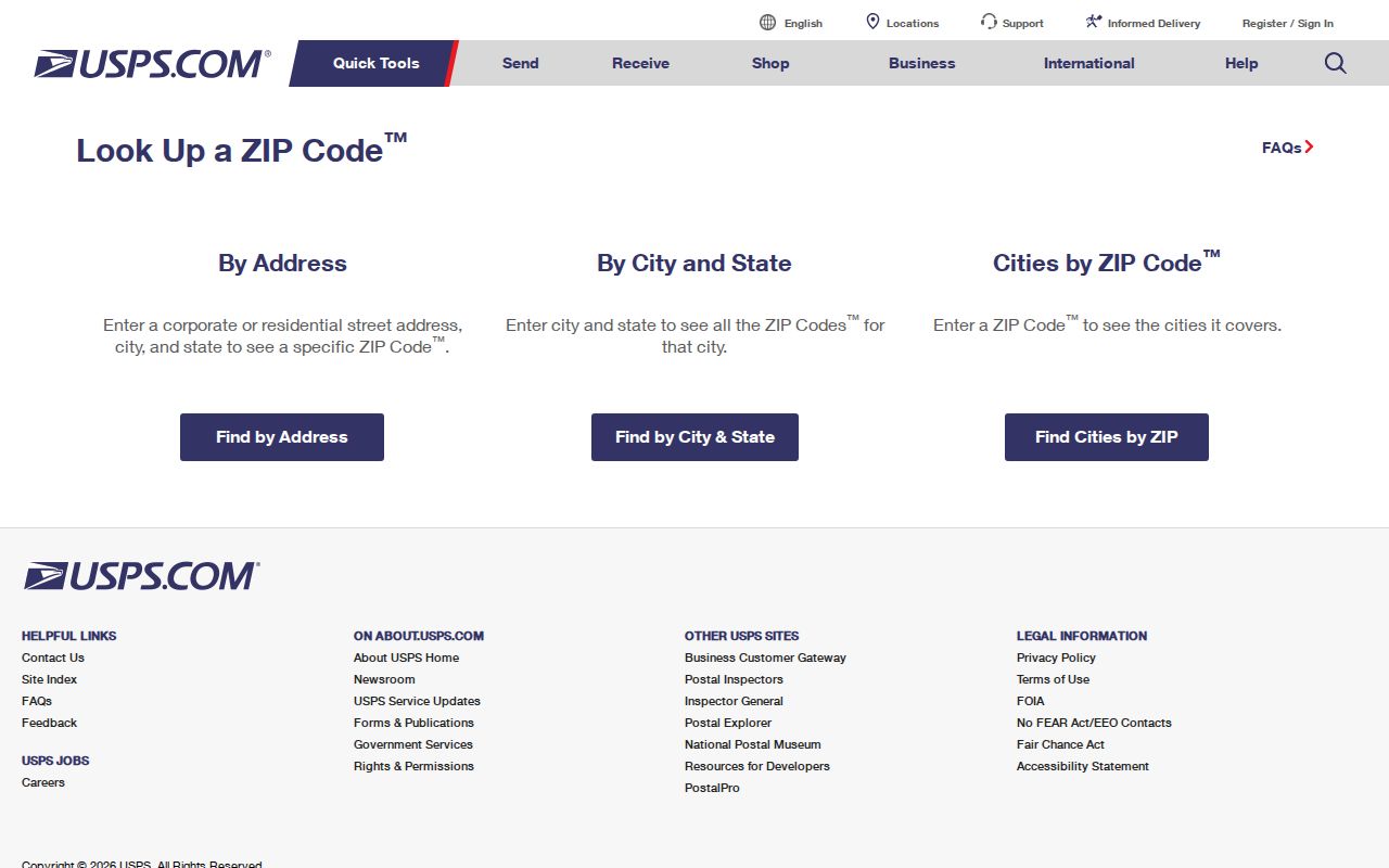
USPS cautions that a ZIP result does not confirm that a person or company is at the address. Treat it as a postal verification, then use a parcel or other official record for the distinct local fact being researched.
| USPS mode | Fields or input | Best use |
|---|---|---|
| Address lookup | Full delivery address | Verify the mailing ZIP for one address |
| City and state | City name and state | Review ZIPs associated with a postal locality |
| ZIP by city and state | ZIP search with city and state context | Confirm a postal-area result before researching a parcel |
Grand Rapids ZIP Portal Fields
ZIP-based resident output is not exposed by the local property and voter systems reviewed for Grand Rapids. This matters because a postal grouping is often mistaken for a public list of people. Kent Property Search begins with street number, range, street name, municipality, parcel components, and active or inactive parcel choices. The GIS viewer accepts an address search and parcel selection, but did not expose a ZIP filter. Both routes identify parcels, not a ZIP-wide resident roll.
Grand Rapids BS&A Online offers Address, Name, and Parcel Number modes, as shown in this source-linked capture.
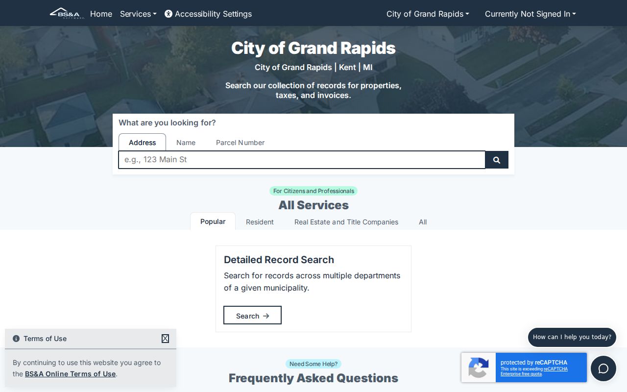
BS&A helps test a known name, address, or parcel, but the inspected screen did not expose a ZIP filter.
| Portal | Search fields or geography | ZIP filter exposed? | What the route supplies |
|---|---|---|---|
| USPS | Address, city/state, ZIP by city/state | Postal lookup | Mailing ZIP verification |
| Kent Property Search | Street number, range, name, municipality, parcel | No visible field | Parcel candidates and property detail |
| Kent GIS Public Viewer | Address search, map, parcel selection | No exposed filter | Parcel geometry and attributes |
| Grand Rapids BS&A | Address, name, parcel number | No exposed filter | City property record routes |
| Kent voter-file request | County/city/township, district, ward, precinct | No ZIP field | Bounded redacted voter-file request |
Find Grand Rapids Residents by ZIP
Use a ZIP to narrow an address question, not to promise a complete list of residents. First verify the full address with USPS. Then confirm the municipality in the City street directory or Kent GIS. Once the address and jurisdiction are known, a property record may show the owner or taxpayer carried on a parcel. Michigan voter-file requests use county, city or township, district, ward, and precinct rather than ZIP. The documented route is a bounded request that respects the statutory redactions and ACP protection.
- Enter the complete mailing address in USPS ZIP Code Lookup and record the returned postal ZIP.
- Check the City street-directory columns or Kent GIS to identify the municipality and parcel tied to that address.
- Search Kent Property Search by address or parcel, or Grand Rapids BS&A by address, name, or parcel when the property is in the city system.
- For public voter data, set the request to the correct county, city or township, district, ward, precinct, or specified election rather than using a ZIP.
- Label a result accurately as postal, parcel, taxpayer, jurisdiction, or voter-file information and confirm current details with the custodian.
When the ZIP has led to one street or address, the Grand Rapids street directory provides the fuller address-based route through parcels, deeds, and local address records.
Grand Rapids Postal ZIP Myth
A common error is to read a ZIP as proof of a person's location or municipal status. USPS expressly warns that its ZIP result does not confirm a person or company at an address. Grand Rapids is especially prone to that error because shared postal areas cross municipal lines. An address in 49508, 49512, or 49546 may have a Grand Rapids postal association while local government services follow a neighboring city or township.
The useful order is postal address first, parcel and municipality second, then the specific office record. A postal ZIP is not a neighborhood boundary, a ward, a precinct, a school district, or a court district. Kent's voter-file request uses civic geography, and the City street directory lists a municipality and school district precisely because those layers can differ from the ZIP.
Grand Rapids ZIP Boundaries
Grand Rapids city limits and postal delivery lines were created for different purposes. Use the parcel system to establish an address's local jurisdiction, then send a records request to the office that maintains that jurisdiction's record. The City street directory and Kent GIS are the more reliable local checks after USPS returns a ZIP. A city mailing name should never replace a municipality field when looking for tax, court, election, permit, school, or neighborhood information.
- ZIP versus ZIP+4
- A ZIP is the main postal area; ZIP+4 adds a more specific delivery segment within it.
- PO-box ZIP
- A ZIP used for box service or postal operations, not a mapped neighborhood of parcels.
- Unique ZIP
- A postal designation associated with a single institution or special delivery use.
- Carrier route
- A mail-delivery grouping that is not a city boundary, parcel line, or resident list.
Mismatch check. A Grand Rapids ZIP can cross into another municipality, and a local record may follow that municipality rather than the postal city. Verify the parcel and the custodian before relying on a ZIP-based result.
Grand Rapids ZIP Address History
Postal verification also depends on a usable address. In 1912, Grand Rapids adopted the Fulton Street and Division Avenue baseline that divides the city into four quadrants, and some street names changed during that period. For an older address, the street name, old and new number, cross street, lot or block, and Sanborn or plat can matter more than a modern postal lookup. A current geocoder will not bridge every historical address.
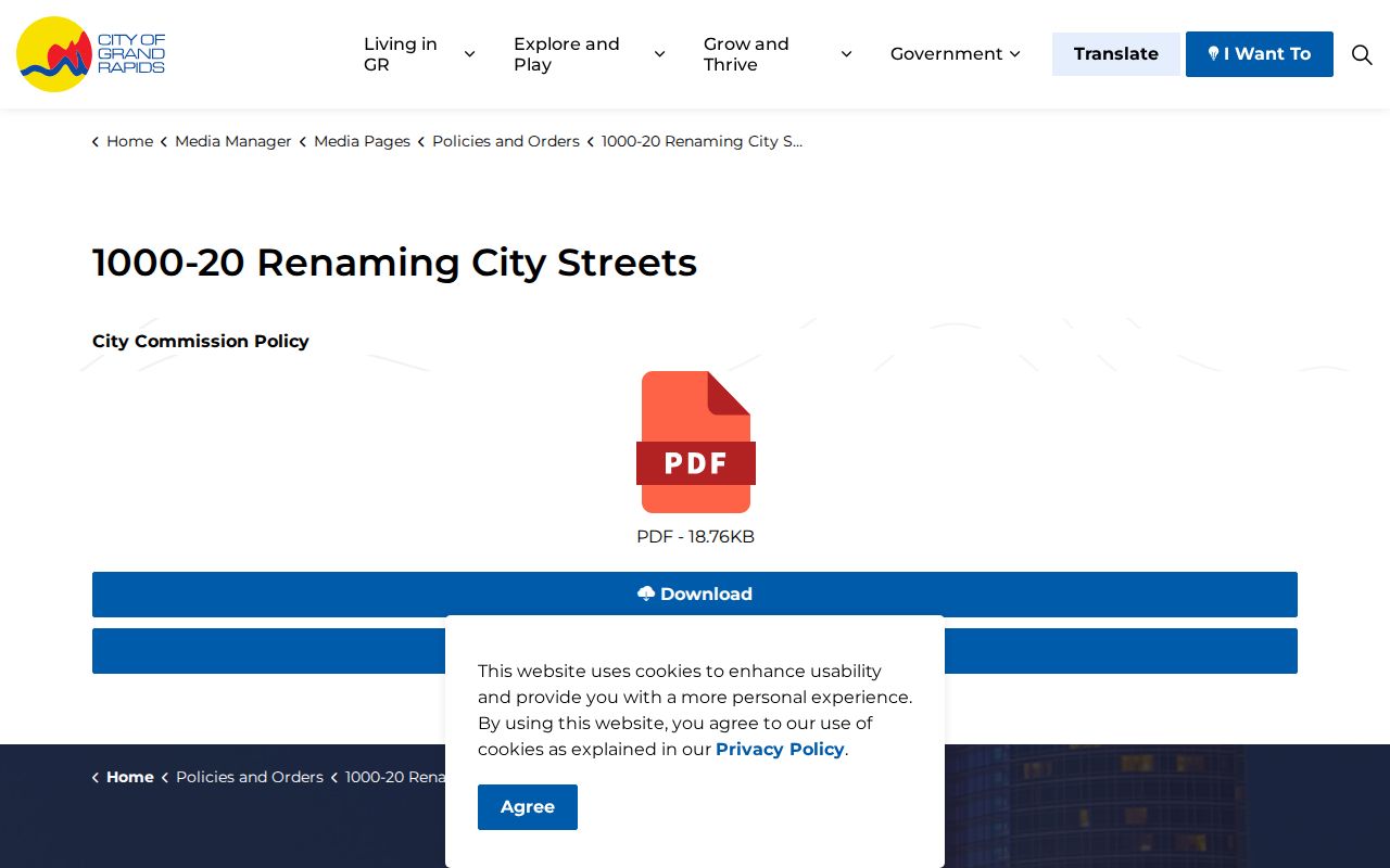
Grand Rapids' street-renaming policy provides the municipal context for a name change.
For a pre-1912 Grand Rapids address, preserve the historical street details before using USPS, parcel, directory, or archival sources to continue the search.