
Trace a Grand Rapids Street
Grand Rapids street records work best as a short chain, not as one broad name search. Kent County Property Search accepts an address or number range, while the City of Grand Rapids BS&A system can be used for address, name, or parcel-number searches. Begin with the property itself. Save the situs address, meaning the physical location of the parcel, and the parcel number. Then compare the tax-roll name and mailing address with the legal description and recorded instruments. A street number can stay in place while the ownership record changes, and a tax mailing address can point somewhere other than the parcel.
- Enter the address or a narrow number range in Kent County Property Search. Keep the returned parcel number and the result date.
- Open the parcel in the City of Grand Rapids BS&A property system to compare owner, taxpayer, legal-description, sale-history, and tax details.
- Use the Kent County Public Viewer to inspect parcel boundaries and the adjoining lots along the same street.
- For a defined civic-record question, use the Kent Elections voter-file request route by city, ward, precinct, or election, with public-field redactions respected.
- Search the current owner or grantee in the Kent County Online Deeds Search, using the parcel or legal-description clues to separate similar names.
- For an older address, compare Polk directories, the 1912 address-conversion index, newspapers, and Sanborn maps through the Grand Rapids Public Library House History resources.
Keep current parcel facts separate from historical occupants. A parcel is land mapped by a public office. A directory entry is an address clue for a particular year. Neither one establishes every person connected with a house.
Grand Rapids Street Range Searches
Kent County's form can narrow a search to a street segment instead of forcing one address at a time. Its Street Number field handles one number, and Range From and Range To can gather parcel candidates along a block. The county's search tips advise entering a street name without punctuation, descriptors, or directional suffixes first, then trying a numerical and spelled-out version such as 1st and First. Choose the City, Township, or Village before drawing conclusions from a mailing city, because a Grand Rapids postal name can extend beyond the incorporated city.
| Kent field | How it works | Street research use |
|---|---|---|
| Street Number | Optional text field | Find one property address. |
| Range From / Range To | Optional text fields | Collect parcel candidates for a block interval. |
| Street Name | Optional text field | Try the plain name before punctuation or suffix variations. |
| City/Township/Village | Optional dropdown | Keep the parcel in its actual jurisdiction. |
| Parcel prefix and sections 2-5 | Optional text fields | Run an exact segmented parcel lookup. |
| Active / Inactive Parcels | Optional choice | Include the status that fits the address trail. |
| CAPTCHA | Required challenge | Complete it before the search runs. |
Range results are parcel candidates, not a household count. Open every result and record its address, parcel number, status, and legal description before moving to the next address.
Note: A split, merged, or inactive parcel may require its exact parcel number and legal description rather than a simple street-number search.
Grand Rapids Street BS&A Tip
The county and city property records display a tax relationship rather than a complete list of people associated with an address. BS&A shows owner and taxpayer information, current tax-year information, land, legal description, Land Division Act data, sale history, building information, and tax history that reaches back to 2004. Kent County advises checking later changes with the local assessor because values are current as of the March assessment cycle. The City property guide also confirms that BS&A is free and does not require an account.
- Parcel
- A mapped unit of land identified by a parcel or PPN number.
- Situs address
- The physical address where the parcel sits.
- Plat
- A recorded map that can place a lot and block within a subdivision.
- Criss-cross directory
- An address-arranged directory used to connect a location with a dated directory listing.
Grand Rapids parcel numbers are 12 digits and begin with 41. That identifier is a better bridge between tax data, mapping, deeds, and permits than a street number alone. A Principal Residence Exemption can be a useful tax classification clue, but it does not prove who is present at the property. Likewise, a care-of entry or an out-of-state mailing address may describe where tax mail goes, not the property occupant.
See the City's BS&A search and payment guide before using the municipal property system.
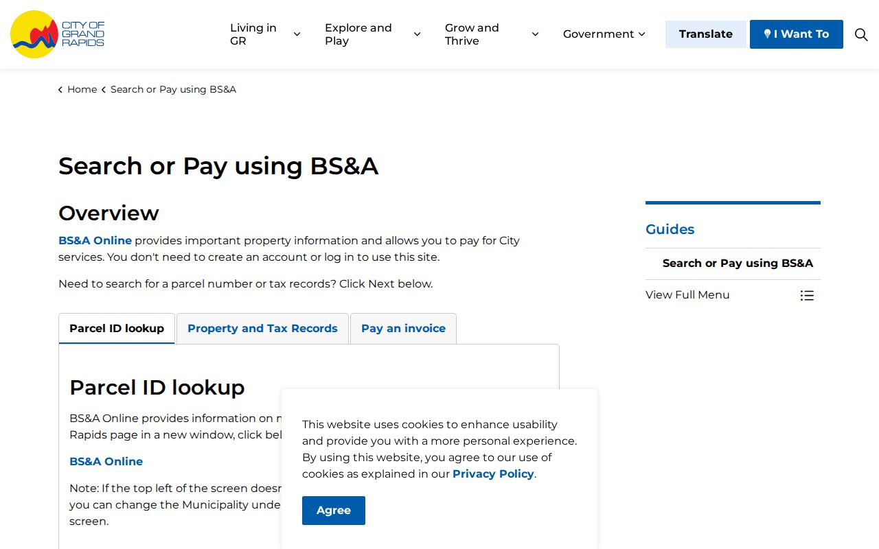
The guide helps distinguish the municipal property route from the county parcel search, so a street result can be checked against the appropriate public record.
Walk Grand Rapids Parcels on the Map
The Kent County Public Viewer is the visual part of a Grand Rapids street directory search. After accepting its disclaimer, search for an address, pan and zoom to the street, and select each parcel. The parcel-owner layer can show owner names, care-of information, owner address, city, state, ZIP code, taxpayer information, and property address. Use those fields to make a dated block inventory, then confirm the current owner or taxpayer in BS&A or Kent Property Search. The county warns that the viewer is a reference source and carries an accuracy, completeness, and fitness-for-use disclaimer.
Clicking outward also reveals whether an apparent neighbor is beside, behind, or across from the anchor parcel. Rear lots, alleys, merged parcels, and parcels with an unreadable address can otherwise disappear from a street-by-street review. Record the map scale and source date with the parcel number. The visual map is not a survey and is not a title opinion.
Open the Kent County Public Viewer to review the available parcel layers and its use notice.
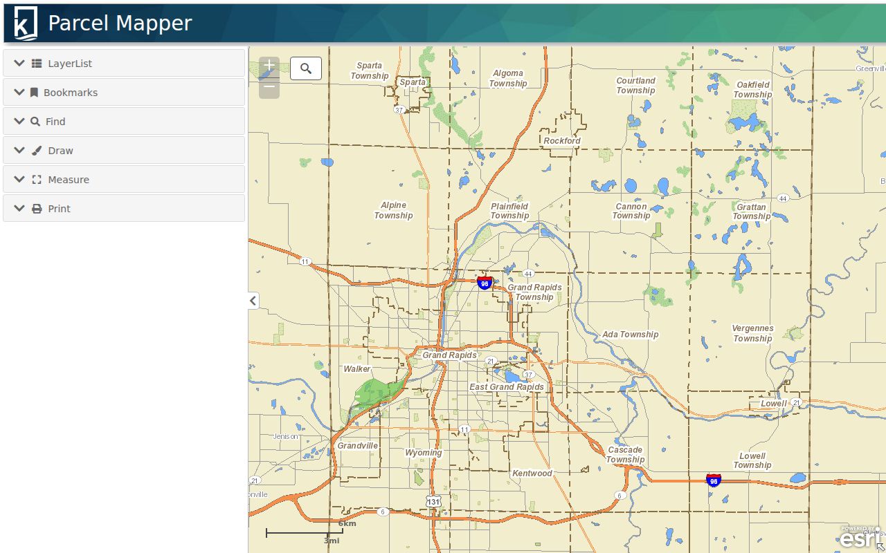
The viewer supplies map context for a parcel record, while the property portal supplies the latest tax-roll fields that should be checked before recording an ownership relationship.
Grand Rapids Street Record Sources
Several address-keyed sources can answer separate parts of a Grand Rapids street question. The useful sequence is parcel first, recorded ownership next, then a dated community or historical source if the question concerns an earlier address. Each row below has a distinct keeper and access route. The Register of Deeds holds land instruments, City Archives holds older local material, and city permit or code records may add property context rather than residency evidence.
| Address record | Custodian | What it can establish | Access route |
|---|---|---|---|
| Tax and property card | Kent Equalization or City Assessor | Parcel, owner or taxpayer, mailing address, situs, legal description, values, PRE, and sale history | Free online search, local-assessor verification, or map-order route |
| Parcel Mapper | Kent County GIS | Parcel geometry, parcel ID, adjacent lots, and mapped property attributes | Free Public Viewer, subject to its disclaimer |
| Deed, mortgage, lien, or plat | Kent County Register of Deeds | Grantor, grantee, recording details, legal-description clues, and transfers | Free index from 1970, image purchase, counter, written-copy request, or older repositories |
| Public voter-file request | Kent Elections | Public redacted voter data for a defined city, ward, precinct, or election | Request form, email or mail route, subject to statutory redactions and ACP protection |
| Permit or code case | Grand Rapids Development Center or Code Compliance | Address, work or case description, dates, status, and public fields where available | Citizen Access, Agency Counter, counter, or archive |
| Appraisal card and tax roll | Grand Rapids Archives | Older property and tax evidence, structure clues, and photographs where present | Public appointment, service request, scan, or physical copy |
A street name joins many of these systems, but the parcel number and legal description are the more durable links. Label an entry precisely as a tax-roll owner, recorded grantee, permit applicant, directory occupant, or public contact. Those labels do not mean the same thing.
Grand Rapids Street Permit Context
City permit and code records can make a street result more useful when the question is about changes to a property. Grand Rapids Citizen Access is the public route for permits, inspections, planning records, property complaints, open enforcement cases, and electronic plan review. Its address search offers street number or range, street name, direction, unit, dates, and certified-lead-safe dates. Some actions need an account. The Agency Counter map can show current building and zoning permits with an address, brief description, issue date, and status.
Code Compliance also accepts address research through Citizen Access or its office at 1120 Monroe Avenue NW. For older local evidence, the City Archives holds building permits from approximately 1978 to 1998, appraisal cards from 1936 to 2009, and tax rolls from 1860 onward. Archives appointments and service requests provide an alternative when a current online result does not reach the needed date.
Use the Grand Rapids Citizen Access guide to choose the right property record category.
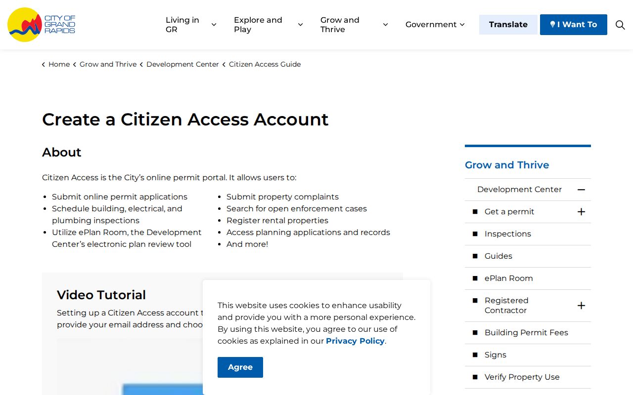
The guide frames a permit result as address-based property context, not a substitute for a parcel card or recorded deed.
For a direct address form, use Grand Rapids Citizen Access property lookup.
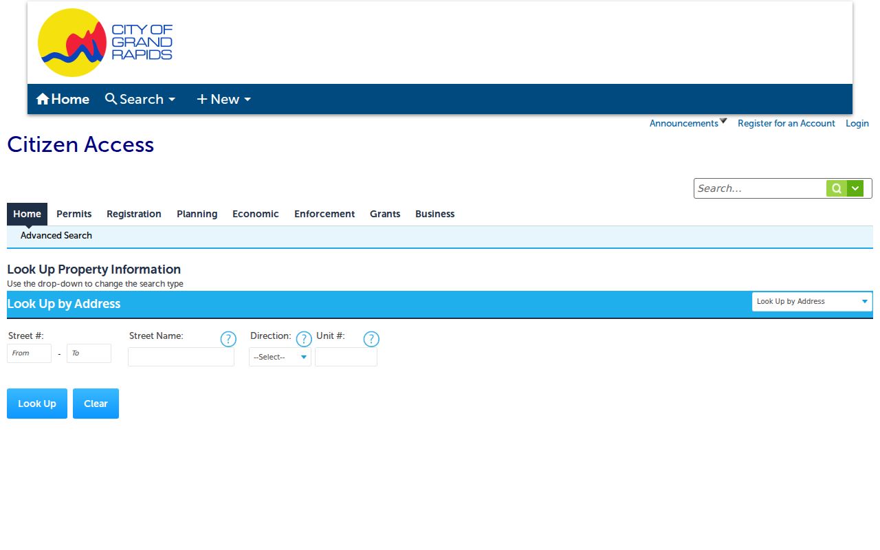
The address fields make it possible to focus on a single property or street segment before checking the associated public permit or enforcement record.
Grand Rapids Street Numbers in 1912
Old Grand Rapids street research has a major local trap: the citywide numbering change in 1912. Fulton Street and Division Avenue became the baseline for the four quadrants that remain in use. The 1912 Sanborn map can show old and new numbers on the same property, and the Grand Rapids Public Library maintains an annotated street index with notes through 1927. Older street names changed as well, including Eighth Avenue to Delaware Street and Elbourne to Plymouth.
For an address before 1912, search the old number, the modern number, the street name, nearby cross streets, and the lot or block where available. A plat and Sanborn sheet can test the conversion. Polk directories and newspaper references then help place the address in the correct year. Do not rely on a modern geocoder to make every historical conversion.
Insider tip. Keep the old and new address together with the parcel or lot-and-block wording, because one historic street number may not map cleanly to a modern search result.
Grand Rapids Street Deed Chains
The Register of Deeds index turns a street directory result into an ownership trail. Search the current tax-roll owner or recorded grantee, narrow by date, document number, parcel, or legal description, and compare the latest purchase deed with the parcel card. The grantee is the person or entity receiving an interest in an instrument. The grantor is the person or entity transferring it. Each seller named on a deed becomes the next name to test in the backward chain.
Kent County's online index begins January 1, 1970. Searching is free. Since June 22, 2026, basic document downloads or prints are $1 per page, while advanced viewing is subscription based. Before that cutoff, use the recorder counter, written copy requests with recording information, older deed books or microfilm, the Library of Michigan, FamilySearch where digitized, and local historical repositories. The county disclaimer advises trying spelling variations because its index is a guide, not the instrument itself.
Read the Kent deed-search disclaimer before searching the self-service index.
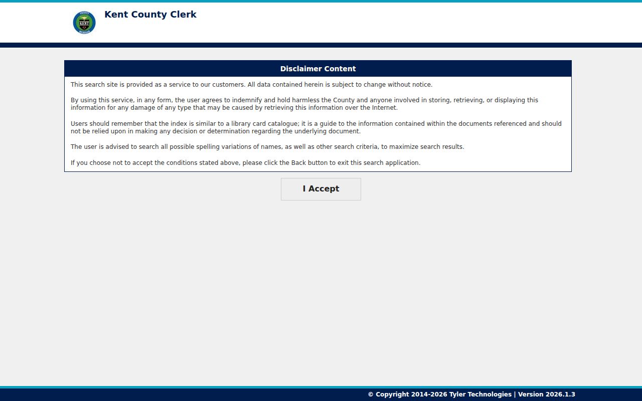
The acceptance screen signals that a street-by-street ownership review must preserve spelling variants, document placement, and legal-description terms rather than rely on one displayed name.
For a dated block view rather than the full street chain, use the parcel-centered approach on the Grand Rapids Find Neighbors page.
Grand Rapids Street Directory History
Historic address evidence has more than one access channel. The Grand Rapids Public Library History Center holds city and telephone directories, newspaper microfilm, obituary indexes, property files, real-estate listing cards, plat indexes, photographs, and address indexes. Some resources are available only in the library or to cardholders. City Archives is available by appointment and can process scans or physical copies. Its collection includes Polk directories from 1865, assessment rolls, tax rolls, permits, maps, and appraisal cards.
For a past household, use a criss-cross directory or Polk street section after the parcel is anchored. Then test the address against the 1912 conversion if needed. Historical directory entries are a dated observation, not a current record. The longer collection runs and how to read their entries are handled in the Grand Rapids City Directories.
Note: The 1912 address bridge and older catalog or microfilm routes matter whenever a modern street number produces no usable historical match.
Grand Rapids Street Privacy Limits
A Grand Rapids street directory can identify public parcel and recorded-property relationships, but it cannot create a complete household roster. Motor-vehicle address data is restricted. Utility and delivery customer records are not ordinary public lists. Michigan's Address Confidentiality Program can protect eligible participants through a designated address and protected voter treatment. The true address of a protected participant must not be reconstructed from a substitute address. Public voter data and any voter-file request also carry redactions for sensitive fields.
Use the address trail for personal property curiosity, family history, civic questions, or a lawful records check. Do not use it to monitor, contact, intimidate, or harass anyone. If a tax, mapping, deed, election, or archive record is wrong, contact the office that created it instead of spreading an unverified result.
Lawful use. Michigan records research is for legitimate personal purposes; repeated unwanted contact or conduct that causes fear can meet the state's stalking definition under MCL 750.411h.