
Grand Rapids Previous Residents Sources
A backward address trail combines ownership records with household sources. The Kent tax and parcel record establishes the current mapped property and the name carried by the tax system. Recorded deeds identify the parties to a transfer. City directories and census schedules add annual or decennial household clues, while appraisal cards, permits, maps, newspapers, and obituaries help date a building or explain a transition. None of those sources alone proves every person who lived at the address.
| Source | Years it covers | Where held | What it shows |
|---|---|---|---|
| Kent deed self-service index | 1970-present online | Kent County Register of Deeds | Grantor, grantee, recording placement, and legal-description clues |
| Older Kent deed books and indexes | Before 1970 | Recorder counter, microfilm, Library of Michigan, and digitized sources where available | Earlier transfers and legal land descriptions |
| Grand Rapids city directories | 1856-1956 microfilm; 1859-1998 cataloged run with gaps | GRPL History Center, selected online editions | Address, occupant, occupation, business, and later telephone clues |
| City Archives Polk directories | 1865 onward | Grand Rapids City Archives | City resident, business, and address history |
| Appraisal cards | 1936-2009 | Grand Rapids City Archives | Property and building clues, including photographs where present |
| Federal census | Public through 1950 in 2026 | National Archives, Census, FamilySearch, and library databases | Household composition on an enumeration date |
Start with the current parcel when the address is known. Start with the closest directory year when the question is about a household rather than a transfer. The historical address trail needs both paths because an owner, taxpayer, and occupant can be different people.
Grand Rapids Parcel Starting Point
Kent County Property Search is the first step for a known address. The form accepts a street number or number range, street name, municipality, parcel segments, and active or inactive parcel choices. Save the parcel number, situs address, owner and taxpayer entries, mailing information, legal description, sale history, and the date of the search. The county treats values as current to its annual assessment cycle, so later changes should be checked with the local assessor.
A situs address is the place where the parcel sits. The owner or taxpayer mailing address is where correspondence goes. A care-of name, trust, company, out-of-city mailing address, or Principal Residence Exemption entry does not establish a complete household. Treat the parcel card as a dated property record that supplies the identifiers needed for the next source.
Grand Rapids BS&A offers address, name, and parcel-number searching for city property records. Its property details may include owner and taxpayer information, legal description, sale history, land and building information, and tax history. The Kent parcel number and the legal description are especially useful when an old deed lacks a modern street address.
Note: Preserve the parcel number and legal-description words exactly, because both can reconnect records when the street number changes.
Grand Rapids Past Residents Deed Trail
The Kent County Online Deeds Search provides a free basic index from 1970 forward. It supports name or party searching, document type, recording-date limits, document number or book and page, and legal-description or parcel clues. The entry screen directs users to search spelling variations. Use the parcel’s legal description to keep the chain on the same land when names repeat.
- Find the current address in Kent Property Search or Grand Rapids BS&A, then save the parcel number, legal description, current owner or taxpayer, and sale-history clue.
- Search the apparent current owner or grantee in the deed index, narrowing with the recording period and the parcel or legal-description language.
- Open the latest purchase deed and record the grantor, grantee, recording date, document number or book and page, legal description, and any earlier deed reference.
- Use the seller from that instrument as the next backward search target, checking that the legal description still points to the same property.
- Repeat the sequence, noting variant spellings, estates, trustees, corporations, spouses, and each index boundary instead of forcing an unverified connection.
- Grantor
- The party transferring an interest in the recorded instrument, often the seller in a purchase deed.
- Grantee
- The party receiving that interest, often the buyer in a purchase deed.
- Chain of title
- The sequence of recorded transfers connected by parties and the same legal land description.
- Legal description
- The lot, block, subdivision, parcel, or other land wording used to identify property when a street address is missing or altered.
Grand Rapids Past Residents Before 1970
The 1970 online start is a portal boundary, not the beginning of a property’s history. Once the deed index stops, take the book, page, document number, parties, and legal description to the Register of Deeds counter. Older deed books and microfilm are also part of the trail, and the Library of Michigan catalog includes Kent County deed index and deed-record microfilm. FamilySearch or other historical repositories may hold digitized material for a particular series.
Images in the basic online deed system changed on June 22, 2026. Searching remains free, but basic document downloads or prints cost $1 per page and the images remain blurry before purchase. The county also offers advanced viewing access. A counter or written copy request remains important when a needed older instrument is not in the online span.
Do not turn a land-record sequence into a legal conclusion. A deed can transfer an estate interest or other partial interest, and a title company or attorney is the proper source for title or conveyance conclusions. The practical goal here is a documented research trail for past residents, not a substitute for professional title work.
Grand Rapids Previous Residents 1912 Bridge
Many address searches fail because Grand Rapids changed its address system citywide in 1912 around the Fulton Street and Division Avenue baseline. A pre-1912 entry can use a different house number, directional pattern, or street context from the later record. The annotated 1912 City Directory Street Index is the local bridge for old and new numbering, with subsequent changes and notes within the 1927 boundaries.
Before comparing an early directory, census, tax roll, or deed reference to a modern address, preserve the original wording and consult the 1912 street index and a Sanborn map. The conversion may identify an old house number or reveal that the same family was nearby rather than at the exact modern number. A translated address remains a research conclusion that should be tied to its source.
The historical directory collections themselves are available through the Grand Rapids City Directories page. Here, their role is to place an address trail between deed transfers and census years.
Grand Rapids Past Residents Map Evidence
Sanborn fire-insurance maps can date the physical setting of an address. GRPL preserves rare January 1874 and January 1878 Grand Rapids volumes discovered in an attic at 336 Paris Avenue SE in the early 1990s, with no other known copies reported in the finding aid. The maps can show a building’s construction, footprint, use, doors and windows, and its surrounding property context. Other holdings include Grand Rapids volumes from 1888, 1895, 1906, 1912, and 1950, while City Archives lists 1895, 1913, and 1952 editions.
GRPL’s House History guide connects maps with physical real-estate listing cards, plats, directories, photographs, and architectural resources. The listing cards can be requested by address and cover properties listed through realtors from the 1950s through the 1990s. Sanborn maps do not name all past residents, but they can explain whether an address, building, or number had changed before a directory or deed comparison.
The House History guide shows the local route for combining maps, directories, and address-specific historical resources.
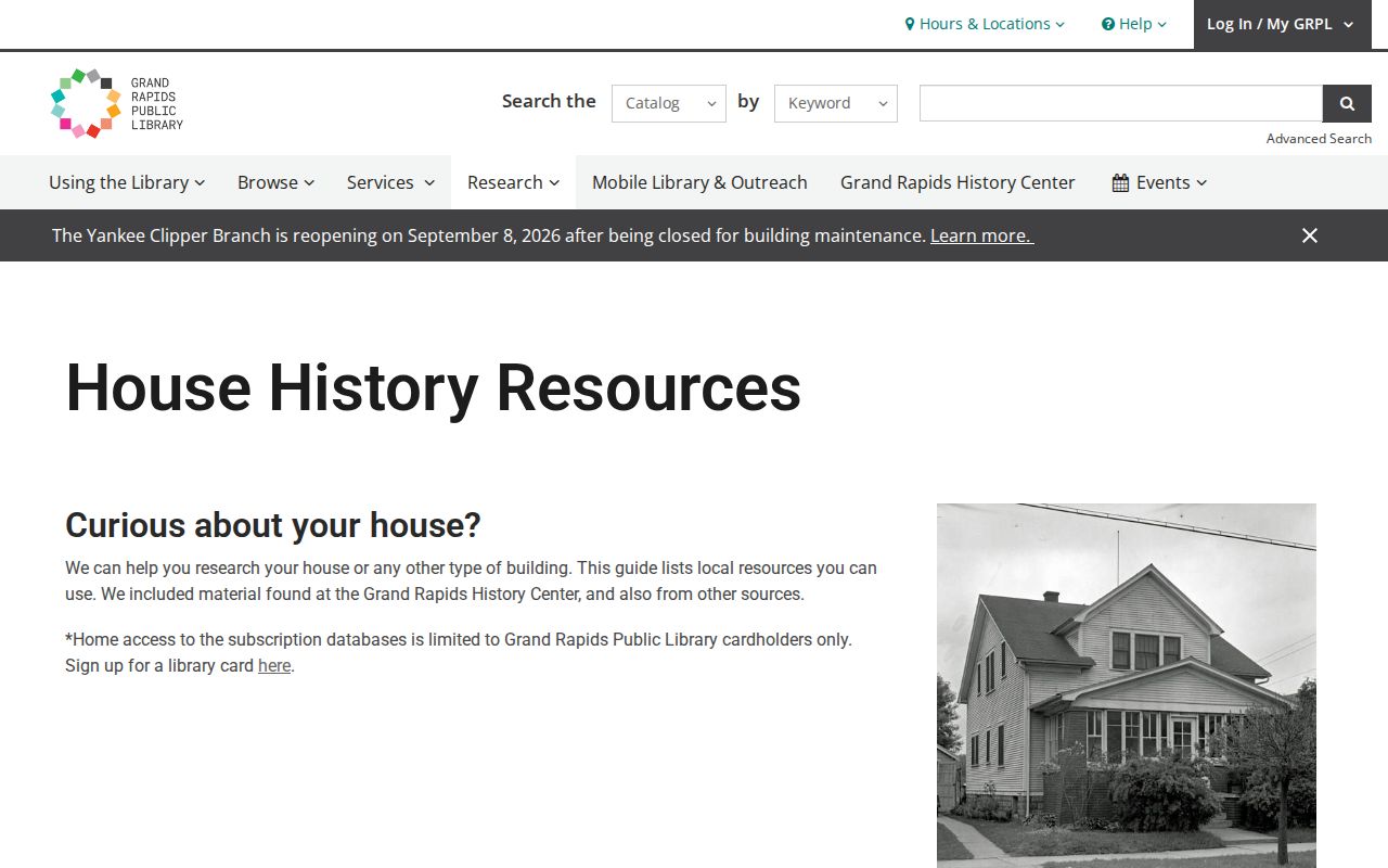
Use the map and the original directory address together, then record the map edition before deciding that two different numbers refer to the same property.
Grand Rapids Past Residents Household Trail
Ownership is only one layer of a Grand Rapids address history. A city directory records annual or near-annual names, addresses, occupations, and later telephone clues. Federal census schedules record household composition on a particular enumeration day. Start in the closest available directory, copy the address and household details exactly, then compare it with the applicable census. The online cataloged directory run has gaps, so the closest volume may not be the next calendar year.
- Locate the address or surname in the nearest available directory and record the edition, page, spelling, initials, address, and occupation.
- Check the alphabetical entry and reverse street or address section, then move backward and forward through the available editions.
- Pair a directory year with the relevant federal census, remembering that public federal records reach 1950 as of 2026.
- Use the 1912 bridge before matching pre-1912 and later street numbers.
- Test a departure with an obituary, probate record, deed, assessment card, newspaper notice, or cemetery source.
Grand Rapids Press and Herald obituary indexes run from 1910 forward through the Western Michigan Genealogical Society. A probate file may connect an estate to heirs, a representative, or a different address, subject to court access rules. A directory disappearance may mean a move, death, omission, or a missing publication year, not one certain event.
Grand Rapids Past Residents Archive Access
City Archives is a needed in-person channel for appraisal cards, historical permits, tax rolls, Polk directories, maps, and related city records. Its archive list includes appraisal cards from 1936 through 2009, tax rolls from 1860, Polk directories from 1865, and historical building permits from approximately 1978 through 1998. Records are available by appointment unless a legal restriction or FOIA route applies.
For a request or appointment, the City Archives service request lets a researcher choose a record or research appointment and select a scan by email or physical copy. Scans are free, physical copies cost $0.10 each, and most requests have a one-to-three-business-day estimate. Appointments are generally available Monday through Friday from 8:30 a.m. to 4:00 p.m.
The City Archives request page explains the appointment and copy options used to reach historical Grand Rapids address records.
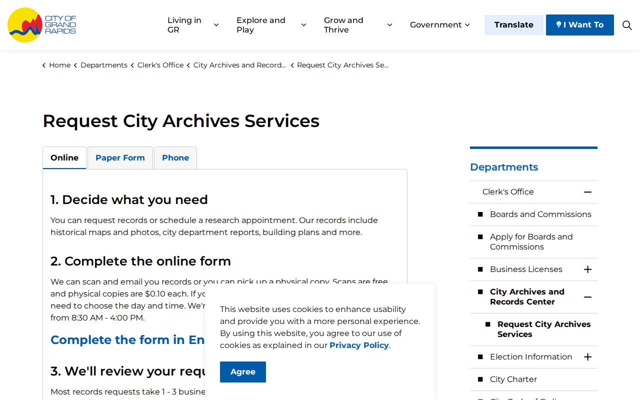
The service route is useful when an online deed or directory clue points to a City Archives series that is not fully online.
Grand Rapids Previous Residents Limits
Past-resident research is most useful for house history, family history, estate questions, or confirming a documented address trail. It should not be used to track, harass, or harm a living person. Public records also leave out protected addresses, private household members, restricted court and vital material, and information that was never included in a directory or recorded instrument.
Lawful use. Use Grand Rapids address history for personal, lawful research and confirm the record with its custodian. Do not use an old address trail to stalk, harass, or harm anyone.
Each document is a dated clue. A tax record can lag, a deed can transfer only an interest, and a directory occupant may not be an owner. Keeping the page, instrument, date, parcel, and address-conversion source with every finding makes the past-residents trail clearer and easier to verify.
Note: A gap between two sources should remain a gap until another dated record directly connects the address, land description, or household.